
Three Shires Head - Peak District Walk
Wednesday 10th January 2007
According to the weather forecast it was going to be dry and, I quote: "You would have to be very unlucky to catch a shower." I am clearly very, very unlucky. At the start of the walk I was in cloud but that lifted, although the rain kept coming, along with the hail and a bitterly cold wind. I had chosen this route for two reasons: 1. Because I knew that it was on good, wide paths so hopefully no picking my way through mud for hours on end, but even they are now becoming a sea of mud. 2. So as that I could 'bag' a couple of new summits, a Dewey and a county top. The Dewey I bagged. The county top I simply couldn't be bothered by the time I got there to fight my way through the bogs and back to get to it, but it's not going anywhere so it will get done on another day.
Start: Cat & Fiddle Inn (SK 0010 7188)
Route: Cat & Fiddle - Whetstone Ridge - Danebower Hollow - Three Shire Heads - Cheeks Hill - Dane Head - Cat & Fiddle
Distance: 6.25 miles Ascent: 265 metres Time Taken: 3 hrs 55 mins
Weather: Rain, hail and a strong cold wind.
Pub Visited: None Ale Drunk: None
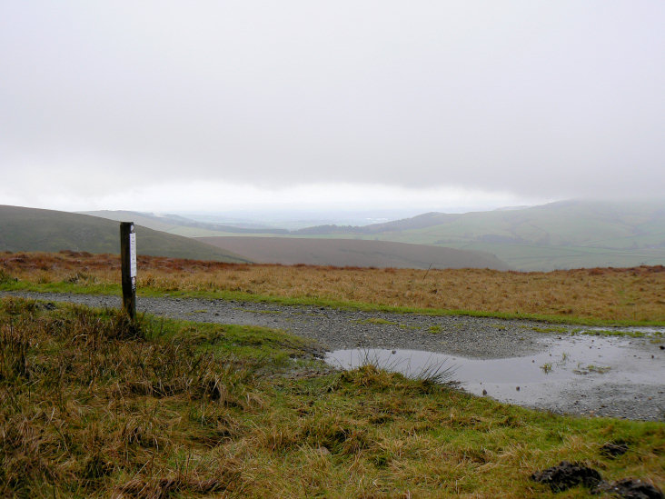
Looking in the direction of Macclesfield Forest from the start of the walk.
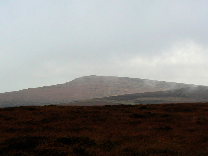
Shining Tor was constantly in and out of the cloud. Seen here across Whetstone Ridge.
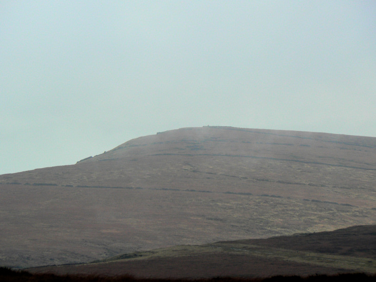
Zooming in on Shining Tor it is possible to make out the trig point on its summit.
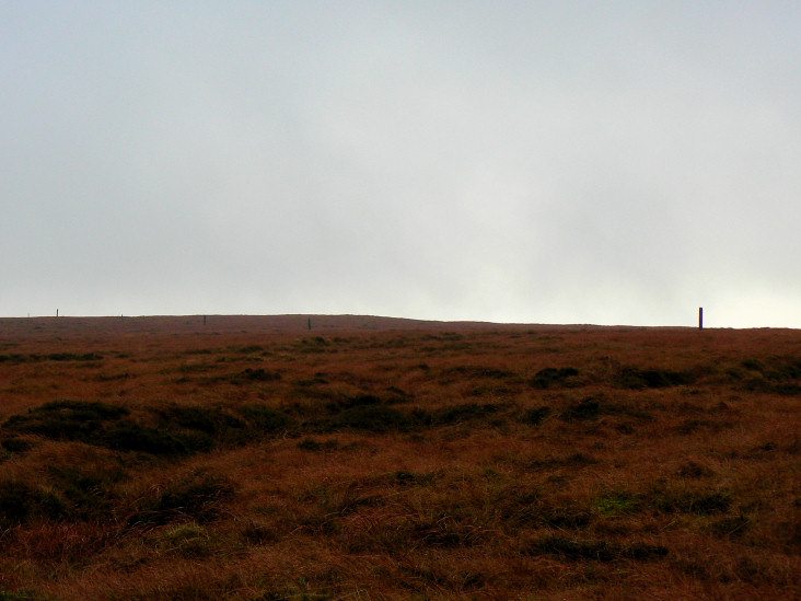
Following the stakes across Whetstone Ridge made for easy navigation.
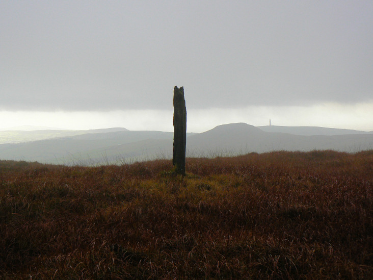
The summit of Whetstone Ridge with Shutlingsloe behind it. Officially my first 'Dewey', a list I discovered thanks to O.F.C. member David Mould. The one thing about 'bagging' tops that I really like is that they often take you to places you would never otherwise visit. I have often walked on the path below the ridge but never ventured onto it and on a better day than today it would give you some fabulous views.
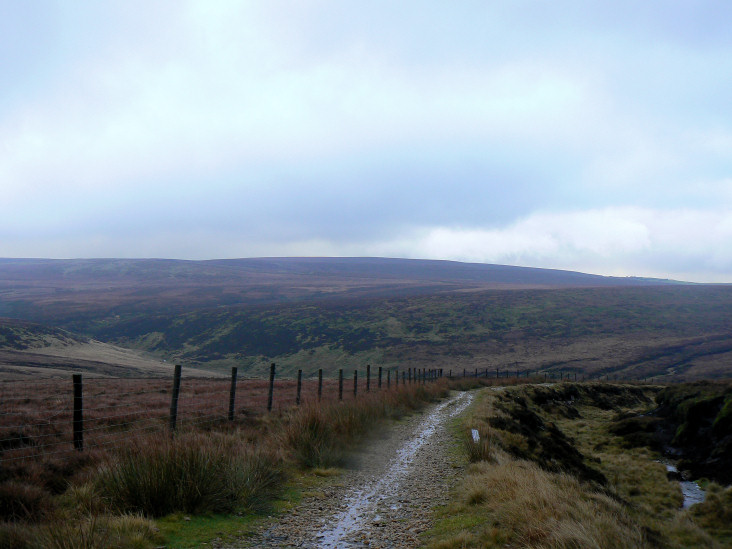
Looking across to Cheeks Hill from Danebower Hollow.
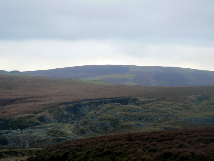
Turn Edge is probably the hill furthest away.

Looking down the valley and path I was to follow to Three Shire Heads.
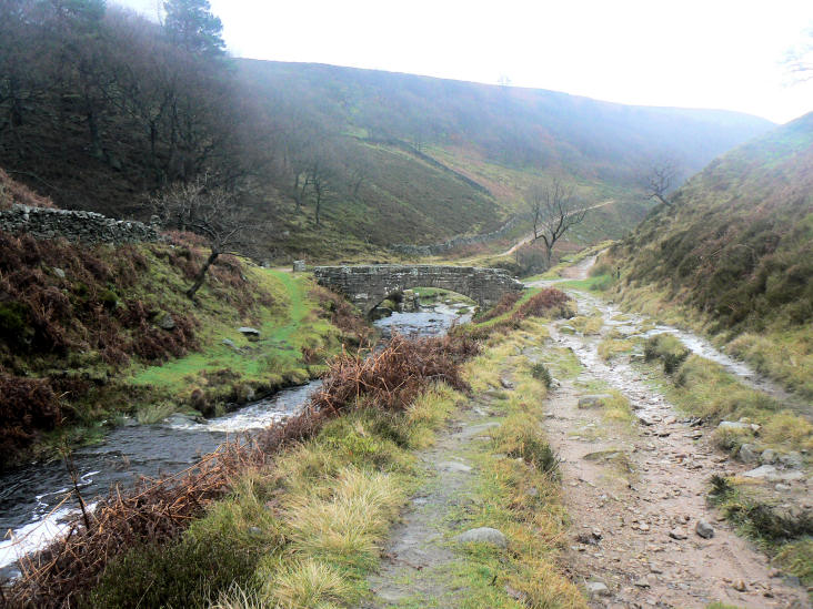
Approaching Three Shire Heads as the rain moves in again.
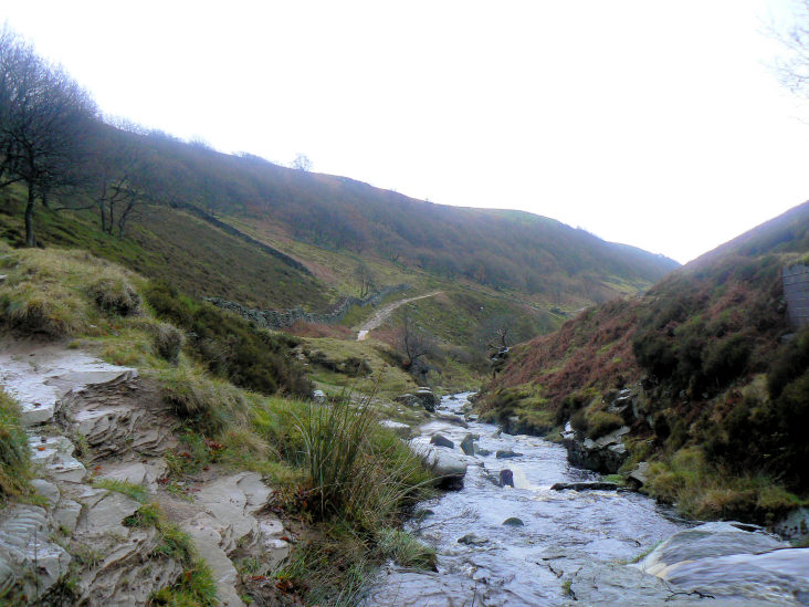
The River Dane from Three Shire Heads.
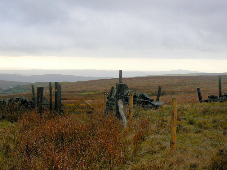
Looking across Cheeks Hill, the summit is out of shot.
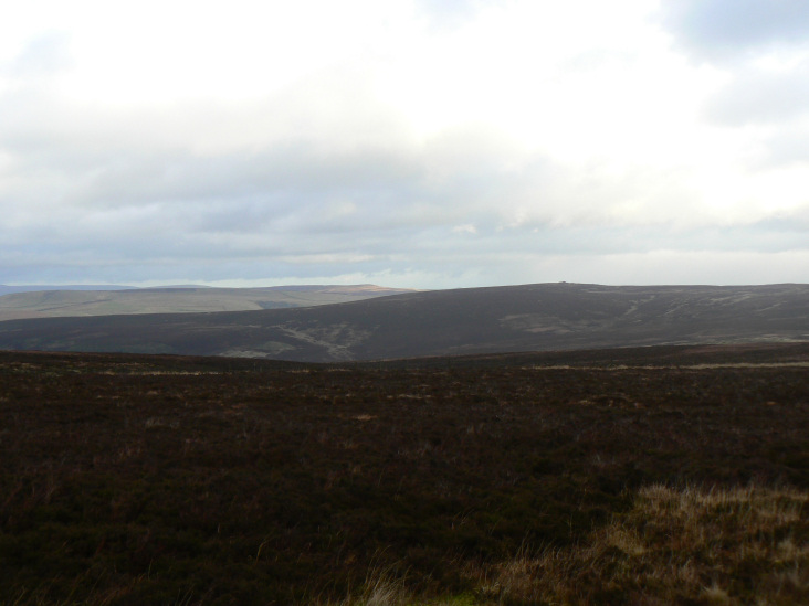
Looking across Goyt's Moss, Combs Moss is the light green plateau that appears to be getting some sun.
All pictures copyright © Peak Walker 2006-2023